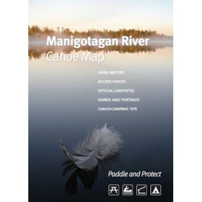


Manitoba Eco-Network Manigotagan Canoe Route Map
Loading...
- Product Number: 1600 - 391030
Item is out of stock but can be ordered in. Once you place your order we will confirm a delivery timeline with you.
A hard-copy paper map version of the Manitoba Eco-Network Manigotagan River map with all important information. Everything you need for planning and paddling a kayak or canoe trip down one of Manitoba's most accessible whitewater routes.
The Manigotagan River is a novice to intermediate canoe route that takes between 5 and 7 days (downstream access points can shorten the trip). The trip features 32 waterfalls and rapids ranging from Class I to Class IV depending on the water level. The longest portage is close to 450 metres, while the shortest is less than 20 metres long. Some smaller rapids do not have a portage trail and must be run.
Features:
- Access points
- Designated campsites
- Rapids (including Class information)
- Portages